Top of the World
Elevation: 2,080m
Please share this message from the Sun Peaks Patrol team with your friends and loved ones:
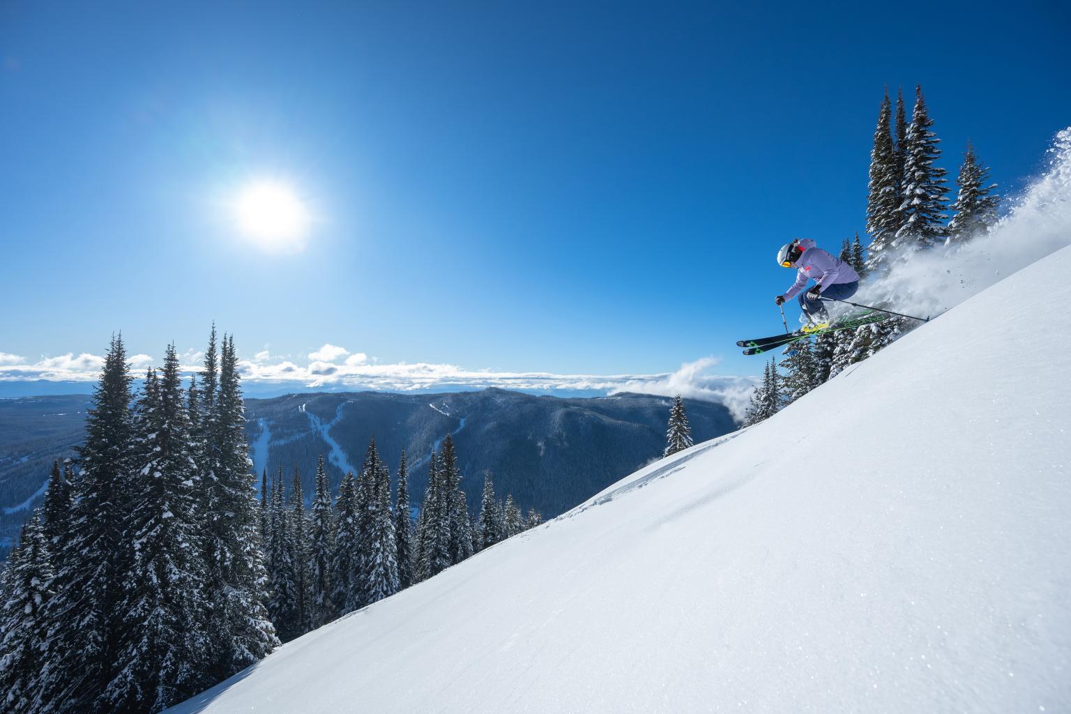
If you leave the ski area boundary, you are entering the backcountry and avalanche terrain. You need to have the training and equipment to support this decision. The Sun Peaks Patrol team has recently encountered numerous guests in the backcountry without any avalanche equipment or awareness of the risks. Even more concerning is that we have encountered groups with children as young as 10 years old without equipment in avalanche terrain. The out-of-bounds avalanche terrain surrounding Sun Peaks is significant enough to bury and kill someone. We want all our guests to enjoy the mountain safely and to be able to go home at the end of the day. Recent mild temperatures and precipitation have increased the avalanche hazard. For current avalanche ratings, visit Avalanche Canada.
Sunny. Wind variable 5 to 10 km/h. High near 4 C.
Elevation: 2,080m
Elevation: 1,855m
Elevation: 1,675m
Elevation: 1,255m
Updated April 5th at 4:49am
*New snow data is reset at 3:30pm everyday after the lifts close.
Elevation: 2,080m
Elevation: 1,715m
Elevation: 1,693m
Elevation: 1,494m
Forecast for Mid-Mountain (updated by approx. 8:00 am)
Friday: Sunny. Wind variable 5 to 10 km/h. High near 4 C.
Friday night: Clear. Wind light. Low near -3 C.
Saturday: Sunny with the odd band of high cloud. Wind becoming S 10-15 km/h in the afternoon. High near 7 C.
Synopsis: A strong upper ridge along the BC coast will move over the BC interior bringing sunny mild conditions to the resort today, clear skies tonight, and sunny unseasonably warm conditions over the weekend. Winds will be light, and temperatures will rise to the warmest values so far this spring over the weekend.
Sunday to Monday: Very warm conditions will persist into Sunday as the upper ridge drifts east into Alberta and high cloud from a weather system approaching the coast will begins to invade the area. By Monday a cooler cloudier Pacific airmass is expected to move into the BC southern interior, knocking freezing levels back down to near mid-mountain, bringing rain showers to the village, and wet flurries to the upper slopes. A weak upper trough will bring a chance of showers or wet flurries on Tuesday.